
From now until September 2024, there is a possibility of about 5-7 storms/tropical depressions appearing in the East Sea; Of which there are about 2-3 storms making landfall (the average number of storms/tropical depressions in many years in the East Sea during this period is 6-7, the average number of storms/tropical depressions in many years in the East Sea during this period is 6-7, the average number of storms in many years making landfall in Vietnam is about 3 attacks).
Mr. Hoang Phuc Lam – Deputy Director of the National Center for Hydrometeorological Forecasting said that currently, the ENSO phenomenon is in the neutral phase. It is forecast that from July-September 2024, ENSO is likely to switch to La Nina state with a probability of 65-75%.
From now until September 2024, about 5-7 storms/tropical depressions are likely to appear in the East Sea; Of which there are about 2-3 storms making landfall (the average number of storms/tropical depressions in many years in the East Sea during this period is 6-7, the average number of storms/tropical depressions in many years in the East Sea during this period is 6-7, the average number of storms in many years making landfall in Vietnam is about 3 attacks). Beware of the possibility of tropical storms/low pressure forming right in the East Sea area.
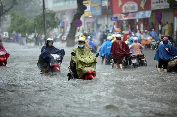
From July to September, across the country there will continue to be the possibility of dangerous weather phenomena such as thunderstorms, tornadoes, lightning and strong winds. In the Northern region, heatwaves still occur until August and are mainly concentrated in July. In the Central region, heatwaves also occur until September, mainly concentrated in July-August.
Heat and intense heat are likely to appear more often than average in many years during the same period. Drought in the Central region is likely to last until August 2024.
The rainy season in the Central region is likely to appear equivalent to the average of many years (around the end of August and the first half of September). In the Central Highlands and Southern regions, the southwest monsoon tends to be stronger than average.
Storms, tropical depressions and the southwest monsoon have the potential to cause strong winds and large waves, affecting activities in the East Sea region. The heat wave phenomenon will affect daily life as well as production activities (especially in the second half of June-July 2024 in the North and Central regions, the heat level may be more severe). In addition, heavy rain, thunderstorms, tornadoes, and lightning have the risk of negatively affecting production and community activities in affected areas.
Commenting further from October to December, Dr. Hoang Phuc Lam said that during this period, it is forecast that the ENSO phenomenon will continue to remain in La Nina state with a probability of about 80-90%. In the East Sea, there is a possibility of about 4-6 storms/tropical depressions, of which about 2-3 will make landfall (the average number of storms/tropical depressions in many years in the East Sea). During this period, there were 4-5 storms, with an average of about 2 storms landing in Vietnam in many years). Beware of the possibility of tropical storms/low pressure forming right in the East Sea area.
Cold air begins to become stronger from around October. Tropical storms/low pressure and the Northeast monsoon are capable of causing strong winds and large waves, affecting activities in the East Sea area. In addition, heavy rain, tornadoes, and lightning can negatively affect production activities and public health.